

Lake-effect snow is usually at its strongest in the first half of winter, and the reason is pretty simple: the lakes are still relatively warm and largely ice-free. When very cold Arctic air pours across those warmer waters, the temperature contrast is extreme. That contrast is the fuel that drives lake-effect snow. The cold air picks up heat and moisture from the open water, becomes unstable, and then dumps that moisture back downwind as heavy, localized snow bands.
As winter goes on, the lakes steadily lose heat and ice coverage increases, which cuts off that energy source. In a typical winter, as much as 50 percent of the Great Lakes can become ice-covered. Once ice forms, the lake can no longer transfer heat and moisture into the atmosphere efficiently, and lake-effect snow weakens noticeably.
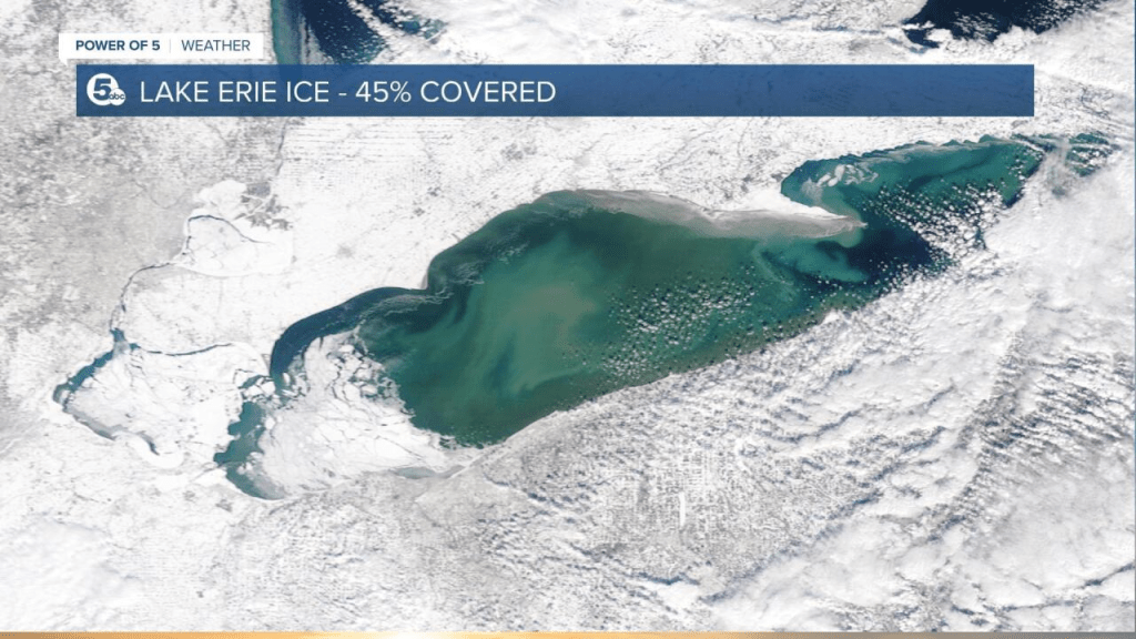
Not all lakes behave the same way. The deepest lakes—Lake Ontario and Lake Superior—hold heat longer and tend to stay open far deeper into the winter. That is why areas downwind of Lake Ontario can continue seeing lake-effect snow well after other regions quiet down. On the other end of the spectrum is Lake Erie. It is the shallowest of the Great Lakes, and during colder winters it often freezes over completely or nearly so, sharply reducing or even shutting down lake-effect snow once that happens.
Right now, the contrast between the lakes is clear. Lake Ontario is only about 8 percent ice-covered, which means it remains a strong and reliable source of lake-effect snow. Lake Erie, by comparison, is already around 35 percent ice-covered, a level that significantly weakens its ability to produce sustained lake-effect events.
Discover more from Beebop's
Subscribe to get the latest posts sent to your email.
